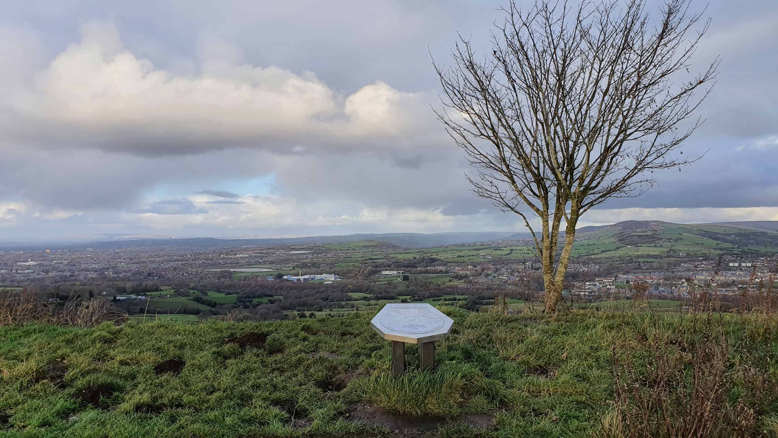
Werneth Low Country Park is located south of Hyde and to the east of Manchester and can be accessed in less than 30min from Manchester city centre by car, making it a nice day out from the city. It offers beautiful views across Greater Manchester and Peak District.
The park has walking and hiking trails that allow visitors to explore the natural beauty of the area. The trails may vary in difficulty, providing options for both casual strolls and more challenging hikes.
The park is also a good place for horse riding with a network of various riding tracks.
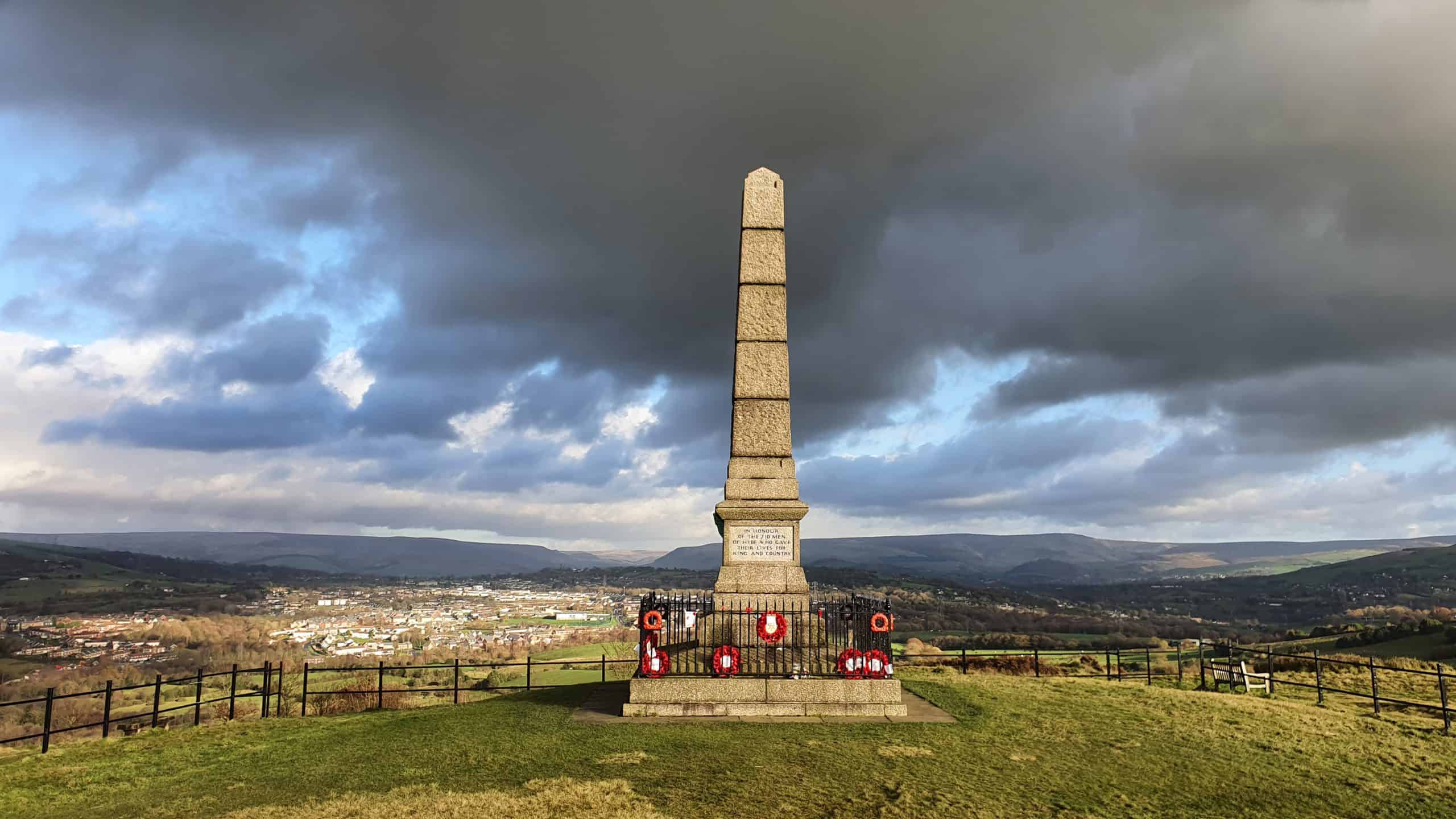
One of the prominent features of Werneth Low is the war memorial that commemorates the soldiers who lost their lives during World War I and World War II. The memorial offers panoramic views of the surrounding areas.
There is a visitor’s centre near the main entrance of the park that provides information.
There is a free car park on site with limited spaces. If it is full, there should be on street parking available on Higham Lane, although not ideal as the road is quite narrow, so you might have to park partly on the pavement.
More information about the country park regarding facilities and access by public transport can be found here.

Views from Werneth Low Country Park
Suggested Walk
- Length: 1.9miles (3.1km)
- Estimated Time: 1h & 15min
This is an easy circular walk within the park. There are sections with a slight ascend (start of the walk towards the memorial), but generally it is quite flat. It can be quite muddy after rain so appropriate shoes are recommended.
Below is a map that shows the walk with indicative photos along the route. You can save this map on ‘Google My Maps‘ so you can have it as a future reference for your walk.
To save the map, make sure you are logged in to your Google account, then click on the star to the right of the title. To locate the map go to your Google Maps app (or Account), click on ‘Saved’ (or ‘Your Places’), and select ‘Maps’.
Below i have included a virtual tour of the walk.
Sharing is caring!

